FOR THE DIGITAL HEALTH COMMUNITY
Written by : Jayati Dubey
September 28, 2023
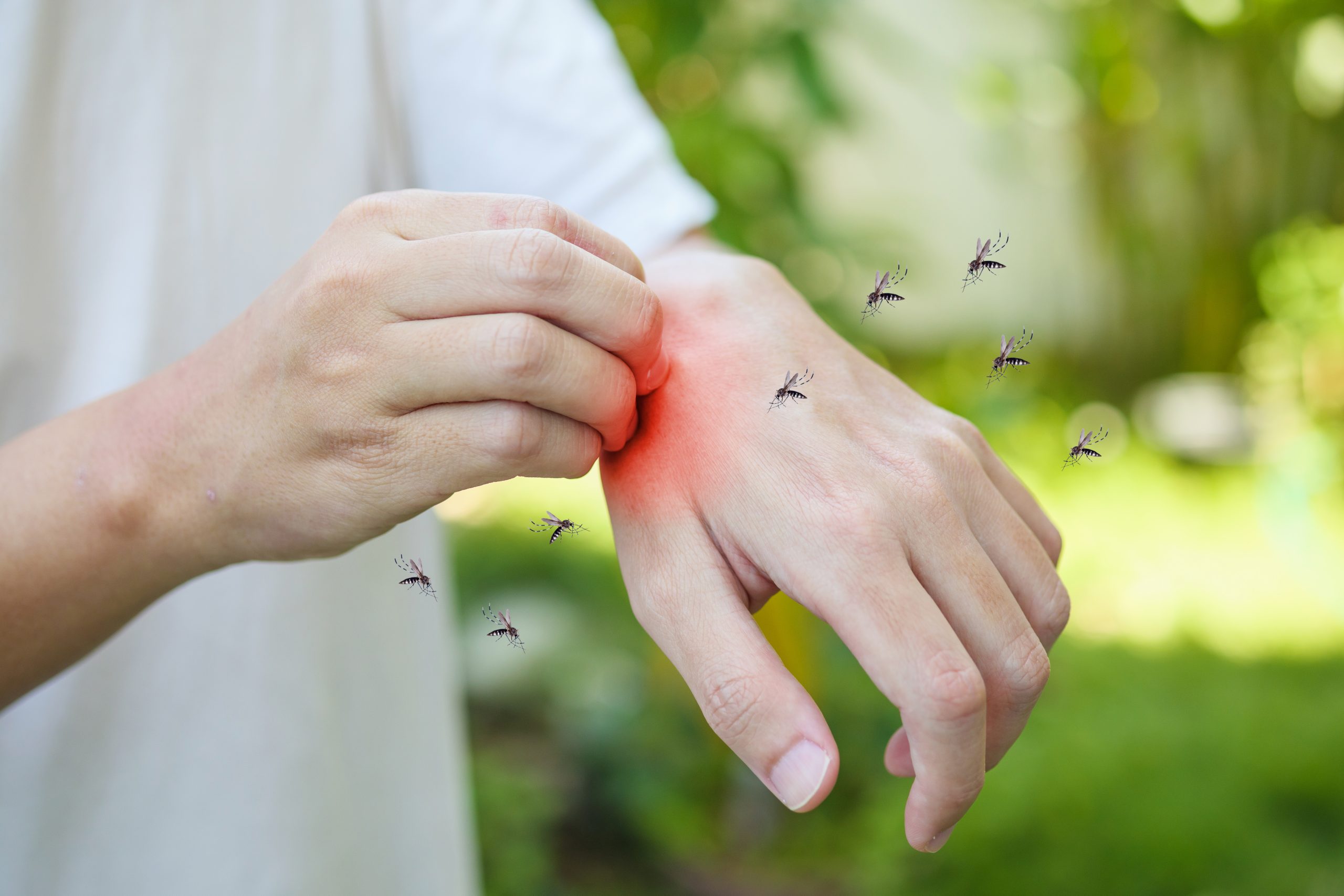
Experts argue that a robust model identifying potential hotspots can enable timely intervention and reduce dengue transmission risks in flood-prone areas despite authorities typically increasing disease control measures during the monsoon.
Utilising Geographic Information Systems (GIS) and remote sensing technology to map flooded areas and stormwater drain networks could prove instrumental in curbing the spread of dengue and malaria, said health experts from different institutes.
Flooding often creates favourable conditions for mosquito breeding, particularly by Aedes mosquitoes responsible for transmitting the dengue virus. While authorities typically take up measures to control disease spread during the monsoon, experts believe that having a robust model that identifies potential hotspots can enable timely intervention and reduce the risk of dengue transmission in flood-prone areas.
"Periodic observation of flooded areas and stormwater drains using remote sensing and GIS could help trace vulnerable population hotspots prone to vector-borne diseases during the monsoon and requiring intervention," said Murali Krishna Iyyanki, a geospatial expert and former director of research and development at Hyderabad's Jawaharlal Nehru Technological University.
GIS, or Geographic Information Systems, is a computer system for capturing and storing data related to Earth's surface positions. Remote sensing, conversely, involves detecting and monitoring an area's physical characteristics by measuring its reflected and emitted radiation from a distance, typically via satellite or aircraft.
Advanced technologies including remote sensing and GIS can be employed to monitor flooded areas and stormwater drains periodically. Research has shown that these technologies significantly improve real-time flood mapping capabilities.
Iyyanki, who has contributed to key geospatial projects with ISRO's National Remote Sensing Centre and the DRDO, noted that high-resolution satellite imagery and aerial photographs captured by aircraft or drones can provide detailed images of flooded areas. By integrating GIS, these images can be combined with various data layers, including topography, land use, and infrastructure, to assess the impact of floods.
This year, heavy monsoon rains and untimely showers led to a surge in dengue cases in several metropolitan cities across India.
For instance, Tamil Nadu reported 4,048 dengue cases so far in the year, with 113 cases within just one week in September. West Bengal reported three dengue-related deaths and around 2,000 dengue cases. In Mumbai, there were 756 confirmed malaria cases and 703 dengue cases within the first two weeks of September.
In response to these challenges, the Karnataka government's Department of Health and Family Welfare and the Bruhat Bengaluru Mahanagara Palike launched a disease surveillance dashboard and mobile application called PRISM-H (Platform for Research, Integrated Surveillance and Management of Health) in Bengaluru.
This initiative, in partnership with ARTPARK (AI & Robotics Technology Park) at the Indian Institute of Science (IISc), aims to develop predictive analytics that assist public health officials in preparing for dengue outbreaks.
"PRISM-H collates area-wise dengue data over a decade, along with data related to factors like rainfall, humidity, topography, and vegetation, to predict possible dengue hotspots using a GIS-based AI-driven model," said Bhaskar Rajakumar, director (healthcare) ARTPARK-IISC.
PRISM-H provides predictive analysis of infectious diseases at least four weeks in advance and monitors the vitals of health workers, disease spread, and test reports, as per the Karnataka health department.
Rajakumar stated that ARTPARK-IISC is working on similar projects for other cities in collaboration with the Pune Knowledge Cluster, Gujarat Biotechnology Research Centre, and Delhi Research Implementation and Innovation.
While flooding itself isn't directly linked to vector-borne diseases, any region affected by floods can become a breeding ground for vectors like mosquitoes if proper measures aren't taken to eliminate stagnant water, according to Iyyanki.
Experts suggest that a robust GIS-based model for hotspot identification could be more effective in planning and enhancing disease prevention. Creating a comprehensive map identifying flooded areas and stormwater drains is crucial.
Prerak Shah, a technology analyst at Precision Health, emphasised that in rural areas, satellite data for flooded areas should suffice, while urban flood maps should consider both flooded areas and stormwater drains.
Experts argue that event-based and wastewater surveillance are vital for tracking areas susceptible to vector-borne diseases. Event-based surveillance mines real-time, location-specific data from the internet, serving as an early warning system for public health authorities.
Moreover, experts stress the importance of participatory surveillance, involving communities in reporting disease-related symptoms to empower vulnerable communities to participate in disease surveillance, early outbreak detection, and reducing disease transmission.
"While remote sensing and GIS provide valuable information, on-ground data mapping with community engagement should go hand-in-hand for optimal results," added Iyyanki.
Raj Bhagat Palanichamy, senior program manager at World Resources Institute (WRI) India, suggested categorising disease counts by area and age population to identify vulnerable hotspots and prioritise preventive measures like vaccination drives and awareness campaigns.
Scientific studies of floods and practical analyses of flood impacts on the ground are essential to address the root problem, according to Palanichamy. Experts propose initiating preparations for the monsoon season in April or May, as planning could help mitigate the annual surge in dengue and malaria cases.
The College of Healthcare Information Management Executives (CHIME) is an executive organization dedicated to serving senior digital health leaders. CHIME includes more than 5,000 members in 56 countries and two US territories and partners with over 150 healthcare IT businesses and professional services firms. CHIME enables its members and business partners to collaborate, exchange ideas, develop professionally and advocate the effective use of information management to improve the health and care throughout the communities they serve. CHIME's members are chief information officers (CIOs), chief medical information officers (CMIOs), chief nursing information officers (CNIOs), chief innovation officers (CIOs), chief digital officers (CDOs), and other senior healthcare leaders. The CHIME India Chapter became the first international chapter outside North America in 2016 and is now a community of over 70+ members in India. For more information, please visit www.chimecentral.org

How AI is Redefining Healthcare Promises in India: A Case Study
January 7, 2024
National Health Claim Exchange to Roll Out Soon: NHA Chief
February 15, 2024
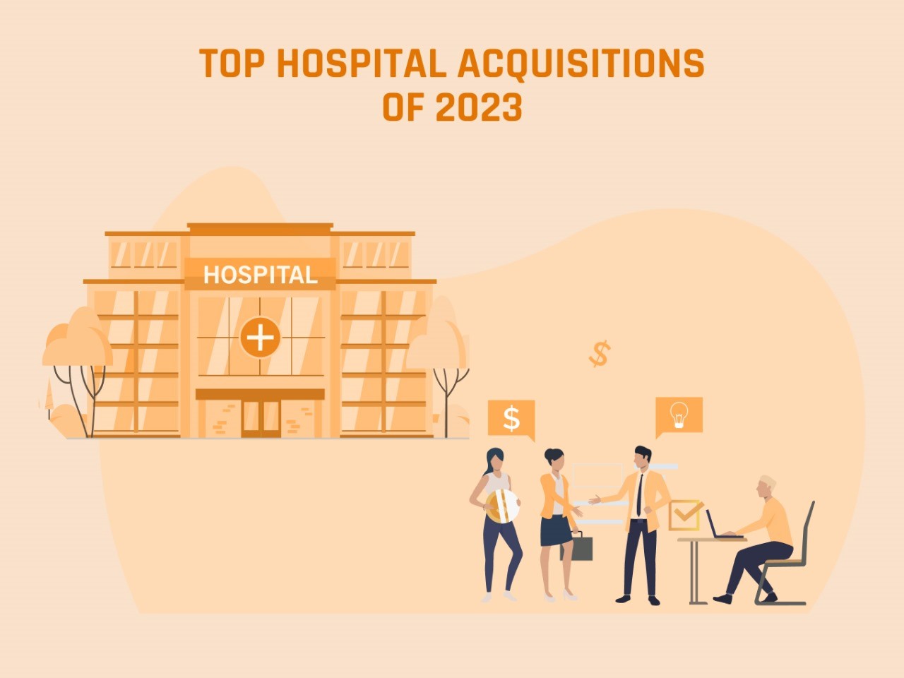
Top Hospital Acquisitions of 2023
December 26, 2023

Elon Musk Claims Neuralink Implanted Wireless Brain Chip in Human
January 31, 2024

Govt Launches Ayushman App for Quick Access to Cashless Treatment
September 14, 2023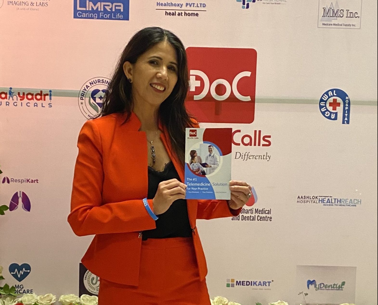
Telemedicine in India Will Continue to Grow: Mary Gorder, DrsOnCalls
September 30, 2023


 Medical Devices & Diagnostic
 Global Digital Health News
 Health News
 Pharmaceuticals and Biotech
 Telehealth
 Telehealth
 Health Tech
 Health News